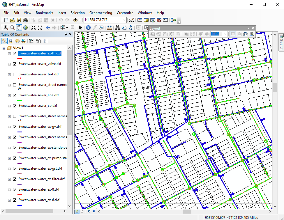
From large wall maps, to meeting maps on presentation boards, to figures for your reports, 3cGeo can meet all of your map publishing needs. Our staff has unrivaled knowledge of digital data sources and we can work with any geo-spatial data formats. Our staff can perform analysis of spatial data to provide you with answers to your questions and then generate maps that help others understand those answers and/or your solution. 3cGeo can serve as your GIS department or help you write and execute a plan to develop a GIS or GIS department.
